

Community Parks & Recreation
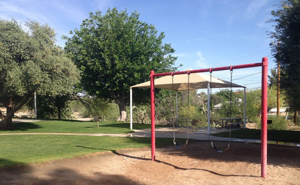
History, Play & Walking
Boetto Park
155 S. Jefferson Street
A welcoming park where local history, public art, exercise stations, a playground and an easy concrete walking path come together.
Amenities & park history
- Benches
- Exercise stations
- Henry Wickenburg historic home
- Multi-use concrete path
- Picnic tables
- Playground
- Restrooms
Unique features include the Viola Wellik bronze appreciation plaque, an Arizona marble sculpture by Sunrise Mine and displays of Wickenburg history. The park honors the Boetto family and John Boetto, Wickenburg's first volunteer fire chief.
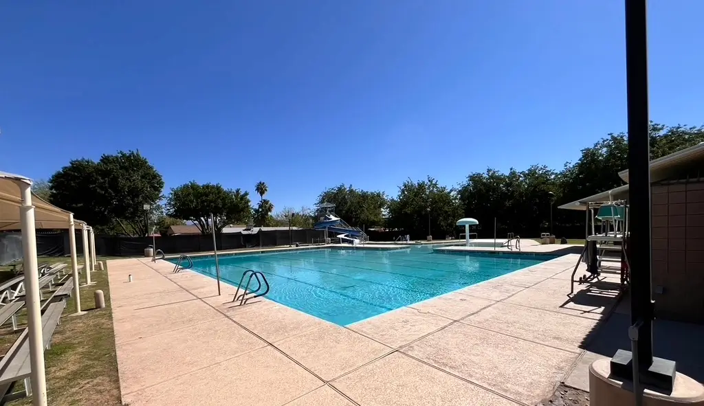
Swimming, Sports & Events
Coffinger Park
175 E. Swilling Avenue
A spacious, shaded downtown gathering place with the municipal pool, playground, skate park, tennis courts and a lighted multi-use field.
See all amenities
- Benches
- BBQ grills
- Multi-use concrete path
- Lighted multi-use field
- Municipal pool
- Picnic tables
- Playground
- Lighted ramada
- Recreation building
- Restrooms
- Skate park
- Two lighted tennis courts
The park is named for former Mayor Howard L. Coffinger, who served Wickenburg in numerous civic roles.
Neighborhood Park
Maguire Park
480 W. America Street
A relaxed neighborhood park with a basketball court, playground, picnic space, BBQ grills and a shaded ramada.
Amenities & park history
- Basketball court
- BBQ grills
- Picnic tables
- Playground
- Ramada
- Restrooms
The park honors Charles and Sylvia Maguire, who helped fund important Wickenburg housing, church and community developments from the 1940s through the 1960s.
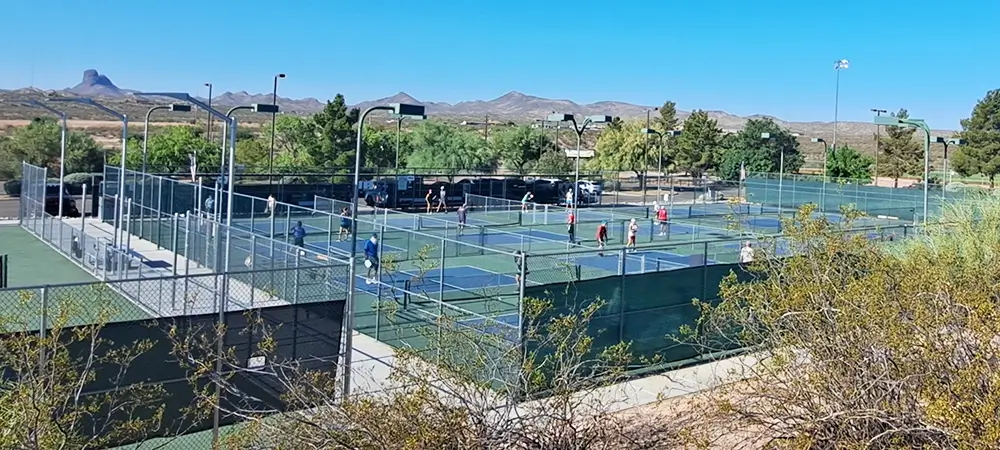
Wickenburg's Sports Hub
Sunset Park
3020 W. Wickenburg Way
Wickenburg's major active-use sports complex, with ball fields, pickleball, basketball, volleyball, playgrounds, seasonal water play and a perimeter path.
See all amenities
- Four lighted baseball fields
- Lighted basketball court
- Batting cages
- BBQ grills and benches
- Concessions building
- Ten lighted pickleball courts
- Playground
- Three lighted ramadas
- Restrooms
- Sand volleyball court
- Seasonal splash pad
- Lighted tennis court
- Perimeter walking path
The splash pad is generally open from 8:00 a.m. to 8:00 p.m., May 1 through October 1. Sunset Park was donated by longtime Wickenburg residents and philanthropists George and Viola Wellik.
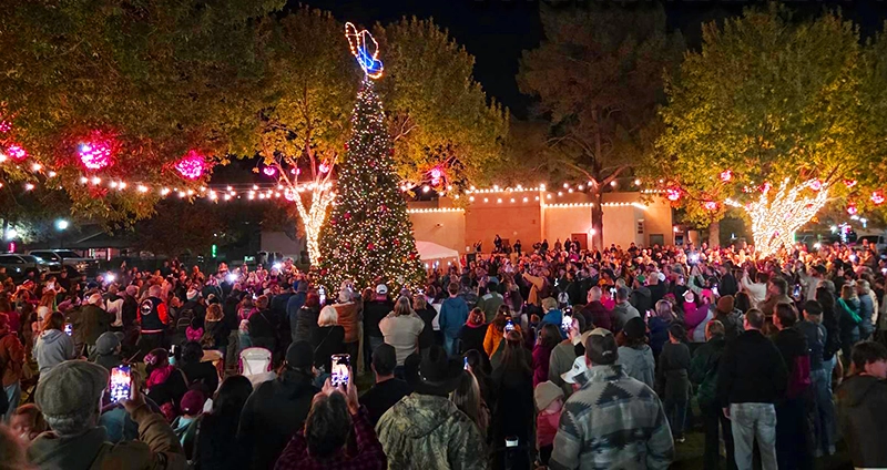
Downtown Events & Gathering
Stone Park
164 E. Apache Street
Located between Town Hall and the Wickenburg Public Library, Stone Park is a central gathering place for fairs, ceremonies and community celebrations.
Amenities & park history
- Benches
- Picnic tables
- Restrooms during Town Hall and Library hours
- Wickenburg time capsule
The park is named for Russell E. Stone, a World War II veteran and respected Wickenburg civic leader.
Specialty Parks & Scenic Walks
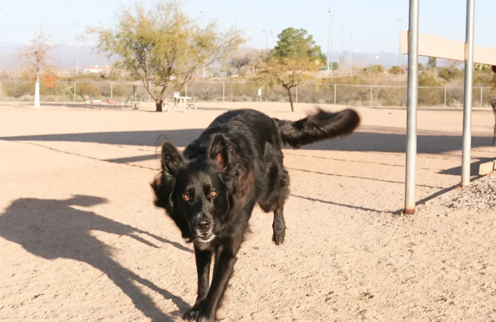
Off-Leash Dog Park
Wickenburg Dog Park
3390 W. Wickenburg Way
A secure off-leash space where dogs and their people can exercise, socialize and enjoy separate areas designed for large and small dogs.
See all amenities
- Canine obstacle course
- Separate fenced areas
- Picnic tables
- Ramada
- Waste receptacles and bags
- Water for animals
Wickenburg Dog Park, Inc. operates this community amenity and maintains it through donations.
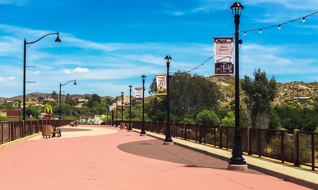
Riverside Walk & Sightseeing
Wishing Well Park & Hassayampa River Walk
333 E. Wickenburg Way
A scenic downtown stop featuring Wickenburg's historic Wishing Well, river views and a pleasant walking route along the Hassayampa.
Amenities & event information
- Benches
- Restrooms
- Historic Wishing Well attraction
- Hassayampa River Walk
- Event bridge
This riverside park is suited to walking, sightseeing and smaller public gatherings. The event bridge may be reserved through the Town of Wickenburg.
Wickenburg Area Trails
Choose from paved in-town paths, easy riparian walks and rugged Sonoran Desert routes. Conditions can change quickly, so always check the linked official source for current access, closures, fees and seasonal hours before heading out.
Non-Motorized Desert Trail System
Sophie's Flat Trailhead
GPS: 34.006713, -112.693784
A scenic loop and connector-trail system through classic Sonoran Desert terrain, with sweeping mountain views, saguaros, ocotillo, cholla and access toward Dinosaur Wash.
Route, facilities & access
- Trails A, B and C form the main loop
- Connections to lettered trails D, E and F
- Large gravel parking areas
- Trailer parking available
- Vault toilet
- No water or trash service
- Free dispersed camping up to 14 days
From Wickenburg, travel east on Constellation Road for approximately 2.9 miles, turn left on Blue Tank Road and continue about 1.4 miles. The maintained dirt approach may favor a high-clearance vehicle, especially after storms.
Short, Steep & Strenuous
Vulture Peak Trail
Approximately 7 miles south of Wickenburg
A challenging desert climb from the base of Vulture Peak to a scenic saddle just below the summit, with dramatic views across rugged mountain ranges and valleys.
Difficulty & summit warning
The maintained trail climbs from approximately 2,480 feet to a saddle at 3,420 feet in about two miles. Beyond the saddle, the route to the 3,660-foot summit enters an extremely steep, narrow and unmaintained chute.
The final summit ascent should be attempted only by experienced, well-conditioned hikers comfortable with exposed scrambling. Check current BLM access information before leaving Wickenburg.
Easy Riparian Nature Trails
Hassayampa River Preserve Trails
49614 U.S. Highway 60-89
Self-guided paths wind through cottonwood-willow forest, mesquite bosque, river floodplain and the Palm Lake loop - an oasis known for exceptional birding and wildlife viewing.
Hours, fees & visitor rules
May 1–October 31: Wednesday–Sunday, 7:00 a.m.–4:00 p.m.; trails close at 3:30 p.m.
November 1–April 30: Wednesday–Sunday, 8:00 a.m.–5:00 p.m.; trails close at 4:30 p.m.
- Current entry fee: $5 per person
- Children 12 and under are free
- Pets are not permitted
- Mostly flat trails
- Uneven or sandy stretches possible
- Visitor Center and restrooms
Paved In-Town Route
Sunset Multi-Use Path
Sunset Park to Los Altos Drive
An accessible paved path running along the north side of U.S. 60/Wickenburg Way and connecting with the easy dirt path around Sunset Park.
Route information
The paved path begins near Sunset Park at 3020 W. Wickenburg Way and extends east toward Los Altos Drive. Users can connect to Sunset Park's dirt perimeter path for an additional easy loop.
Watch for driveway and street crossings, yield appropriately and use extra caution during low-light conditions or extreme heat.
Hassayampa Riverbed Access
Kerkes Trailhead
98 S. Kerkes Trail
A convenient access point for exploring the Hassayampa riverbed by foot, bike, horse or off-highway vehicle, with free parking and trailhead restrooms.
Access & safety information
The trailhead supports both motorized and non-motorized recreation. Expect natural riverbed terrain, sand, loose rock and conditions that may change after storms.
Never enter or cross washes during flooding or threatening weather. Motorized users should remain on legal routes, respect private property and yield courteously to horses and non-motorized visitors.
Trail Maps, Conditions & Desert Safety
Carry more water than you expect to need, tell someone where you are going, stay on designated routes and turn around before heat or daylight becomes a problem. Washes and slot canyons can flash flood even when rain falls miles away. Watch where you place hands and feet, give horses the right of way, pack out everything you bring and verify land ownership before leaving established public routes.